The North American Monsoon (NAM) – Posted on April 27, 2024
In this article, I am presenting information from the National Weather Service and some other parts of NOAA on the North American Monsoon (NAM) which really is the Sonoran Monsoon but we wanted to have our own so we appropriated it. When the Sonoran Monsoon leaks into the U.S. it is called the NAM. The quoted material is indented and my comments are in boxes.

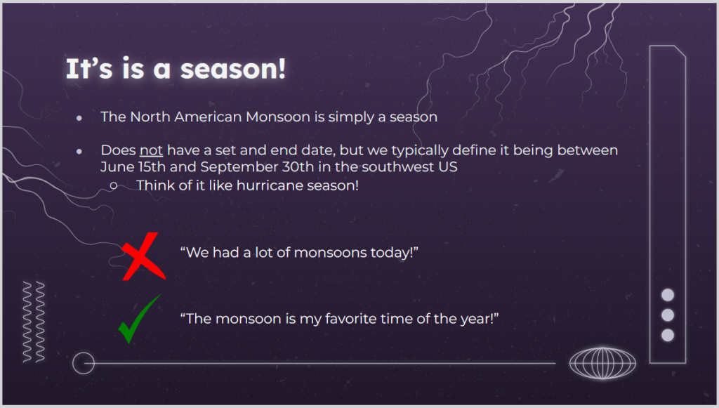
| Yes and no. Yes, it is a season not a single storm. Tucson NWS is Monsoon Headquarters and they had criteria for determining when the Monsoon started and stopped but it was felt that these were too complicated for Americans so they changed to a calendar start and stop time which works well. |
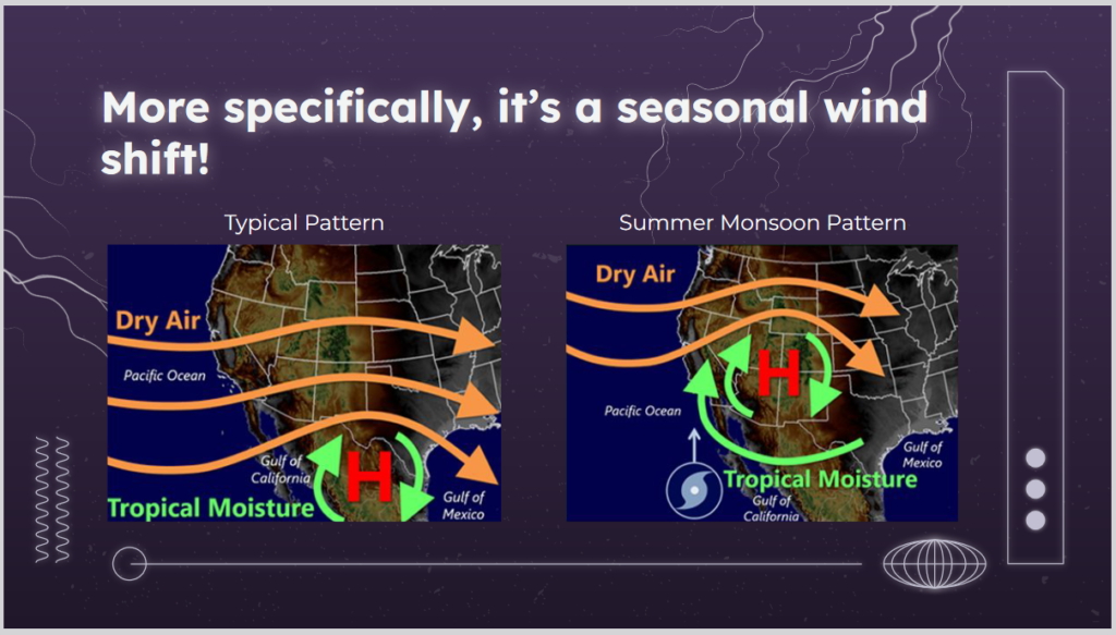
| The starting point for understanding the NAM or pretty much anything in Meteorology is to think about the time of the year. In the winter, the prevailing westerlies and the jet stream dominate weather in the CONUS. In the summer they still have an impact but other mechanisms can come into play. No time in this article to explain it but the ITCZ moves to the north.
I would like to add that the differential heading of land and water in Mexico causes moist air to rise creating thermal low which kind of shoves the high north of it to the north. The mountains also play a role in sometimes blocking air flows and uplifting air masses which causes precipitation. It is quite complex but we are going to simplify it a bit in this article. |
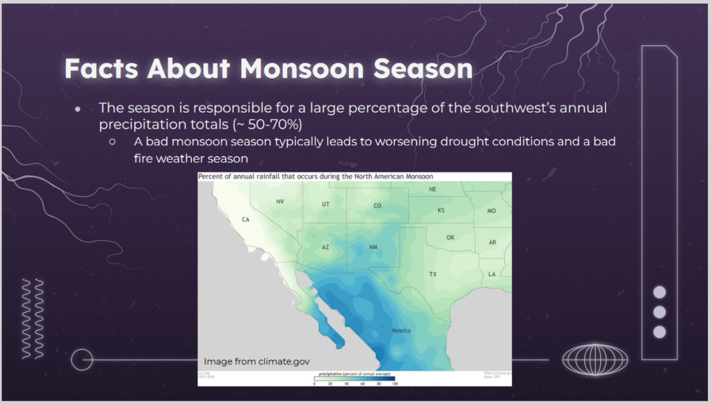
| This map shows the percentage of annual precipitation that arrives during the Monsoon Season. You can see that the NAM is very important to Arizona, New Mexico, Kansas, Western Texas, and the small part of Southeast California. But it is important to many other states as well. It may not provide a disproportionate part of their annual precipitation but a good monsoon versus a poor monsoon has an impact on many states. As you can see, it is even more important to Mexico. |
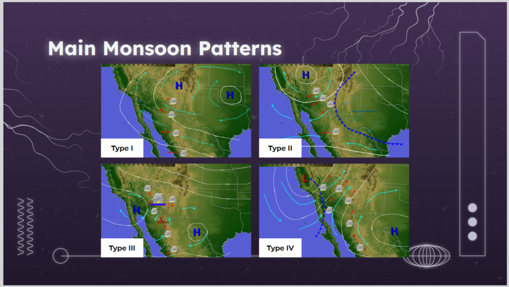
| There are more than four types but these are the main ones. We will go into detail on each of them in the body of this article. But it is really simple when you think about a high being clockwise and a low being counterclockwise. Where you have a low west of a high, the air will be shuttled to the north from Mexico. So first look for the position of the main high-pressure area. Then look for where the low is. You will be able to figure out which way the wind will be blowing. If it is coming from where moisture is, it is likely to rain. |
