The Madden-Julian Oscillation (MJO) – What it is and why it is important. – Published January 4, 2024

From the December 31, 2024 update of the January Weather Outlook:
Dynamical model forecasts of the Realtime Multivariate MJO (RMM) index are in agreement favoring continued eastward progression of the MJO signal over the next two weeks, which typically leads to increased troughing over the central and eastern Contiguous United States (CONUS), consistent with a negative Arctic Oscillation and [Author added for clarity: “and a negative] North Atlantic Oscillation. Overall, the more certain MJO forecasts and subsequent eastern CONUS troughing will allow for the potential for cooler air from the North entering the eastern CONUS during January.
So I thought it would be useful to discuss the MJO and raise the question as to the validity of the above statement.
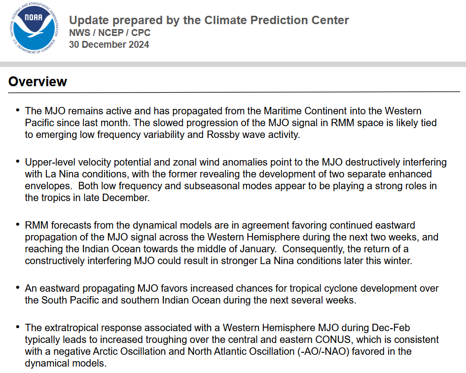
From the NOAA CPC:
The discussion above is confusing and may not be fully explanatory. It is clear that the CPC believes this instance of the MJO will be stronger than usual and interact with the development of the La Nina. Weather-speak can be confusing. “Constructively interfering” actually means enhancing. The last bullet point is to me concerning. Are they saying that the MJO is causing the Negative AO and NAO? I think that is a stretch (however, at the end of the article I revised my initial assessment after a few hours of additional research on Sunday a.m.) but there is a lot I do not understand about the MJO which is itself not well understood.
So I am not prepared to tackle that last issue (I did tackle it after publication late Saturday night/early Sunday morning raising my confidence in the January Outlook). Instead in parts II and III of this article, I present some basic information on this strange but important weather pattern: The Madden-Julian Oscillation (MJO).

