Weather Outlook for the U.S. for Today Through at Least 22 Days and a Six-Day Forecast for the World: posted December 4, 2024
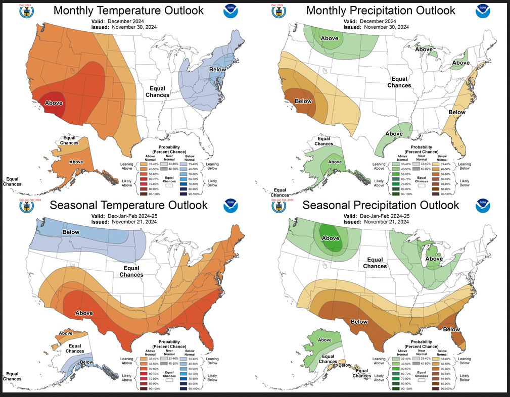
This article focuses on what we are paying attention to in the next 48 to 72 hours. The article also includes weather maps for longer-term U.S. outlooks (up to four weeks) and a six-day World weather outlook which can be very useful for travelers.
First the NWS Short Range Forecast. The afternoon NWS text update can be found here after about 4 p.m. New York time but it is unlikely to have changed very much from the morning update. The images in this article automatically update.
Short Range Forecast Discussion
NWS Weather Prediction Center College Park MD
Wed Dec 04 2024
Valid 12Z Wed Dec 04 2024 – 12Z Fri Dec 06 2024…Heavy snow for the Upper Peninsula of Michigan and the northern Lower
Peninsula on Wednesday……Heavy lake-enhanced snow downwind from Lakes Erie and Ontario on
Wednesday and Thursday; Heavy snow over parts of Northern New England;
light to moderate snow over parts of the Central Appalachians on
Wednesday……Temperatures will be 10 to 15 degrees below average over parts of the
Mid-Atlantic and the Southeast…On Wednesday, high pressure over the Southeast will move southeastward off
the Southeast Coast by Wednesday night. The high pressure will create cold
temperatures over parts of the Mid-Atlantic and the Southeast, bringing
temperatures of 10 to 15 degrees below average.Meanwhile, low pressure just north of Lake Superior will move eastward to
Southeast Canada by Friday. The storm will produce heavy snow over the
Upper Peninsula of Michigan and the northern Lower Peninsula of Michigan
through Thursday morning. Moreover, heavy lake-enhanced snow will develop
downwind of Lakes Erie and Ontario through Friday. Additionally, heavy
snow will develop over New England through Friday too.Furthermore, light snow will develop over parts of the Northern
Plains/Upper Mississippi Valley and the Ohio Valley from Wednesday through
Friday. Moderate to heavy snow will develop over parts of the Central
Appalachians through Friday. Rain will also develop over the coastal parts
of New England through Thursday afternoon and then change over to snow.Moreover, weak return flow off the Gulf of Mexico will create scattered
showers and thunderstorms over parts of the West/Central Gulf Coast
through Wednesday and Thursday. Some of the rain will be moderate to heavy
over parts of the Western Gulf Coast. Therefore, the WPC has issued a
Marginal Risk (level 1/4) of excessive rainfall over parts of the Western
Gulf Coast through Thursday morning. The associated heavy rain will
create localized areas of flash flooding, affecting areas that experience
rapid runoff with heavy rain.Rain will also expand along the Eastern Gulf Coast into the Southeast on
Thursday and into parts of the Southern High Plains Thursday night into
Friday.Elsewhere, upper-level ridging will create stagnant air conditions over
parts of the Pacific Northwest, leading to areas of dense fog and poor air
quality. However, an approaching front over the Eastern Pacific will usher
moisture into the Pacific Northwest, creating light rain over parts of the
Northwest Coast late Wednesday night into Friday.
To get your local forecast plus active alerts and warnings click HERE and enter your city, state or zip code.