Updated at 3:25 p.m. EST Thursday, January 12, 2023
Here is what we are paying attention to in the next 48 to 72 hours. This article also includes World weather forecasts.
We start with the U.S. Information.
Short Range Forecast Discussion
NWS Weather Prediction Center College Park MD
242 PM EST Thu Jan 12 2023
Valid 00Z Fri Jan 13 2023 - 00Z Sun Jan 15 2023
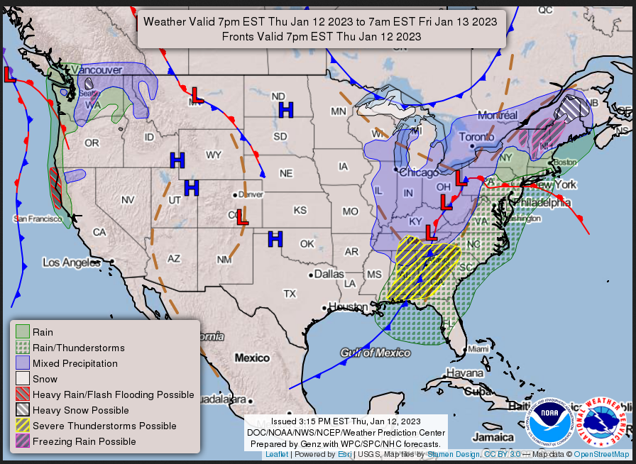
...Atmospheric river expected to impact northern California and the
coastal Pacific Northwest through Friday night...
...Heavy snow possible across northern New England early Friday along with
a period of freezing rain/sleet...
...Heavy mountain snow expected in parts of the Sierra Nevada and Cascades
this weekend...
First, the 48-Hour Forecast (It is a 48 to 72 Hour Forecast actually)
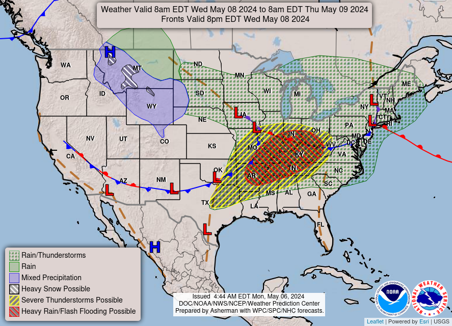
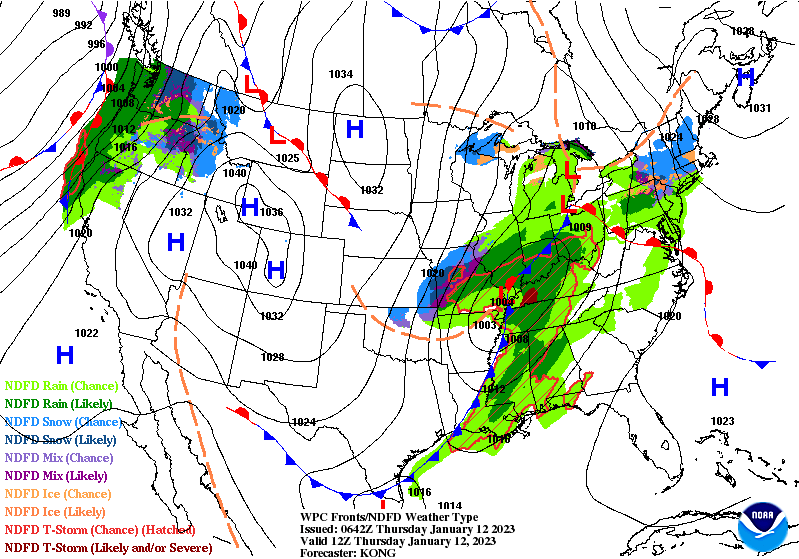
Daily weather maps
THURSDAY AFTERNOON, EVENING AND OVERNIGHT
FRIDAY

SATURDAY
I try to keep the above maps updated. They only update twice a day and in some cases once a day.
I will be doing the updating during the period described in the title of the article but if you happen to read this article later you can get updates by clicking HERE.
This animation shows how things may play out over the next 60 hours. To update click here.
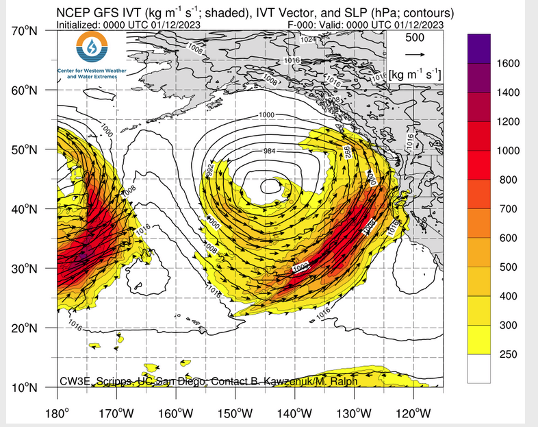
ATMOSPHERIC RIVERS
Continuation of the NWS Short Range Forecast (It is updated by NWS twice a day and these updates can be found here. We post at least one of those updates daily, sometimes both. The Highlights are shown in the lede paragraph of this article.
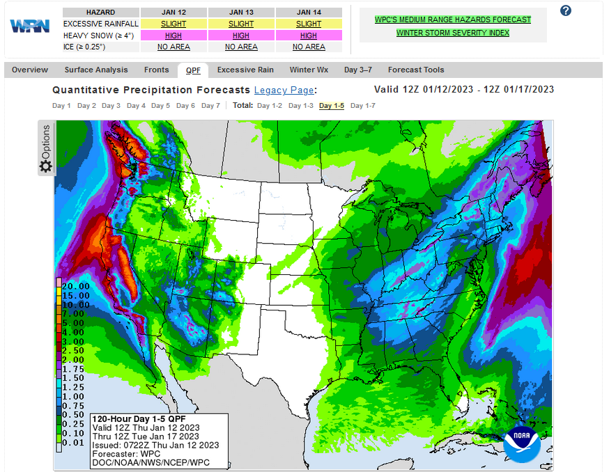
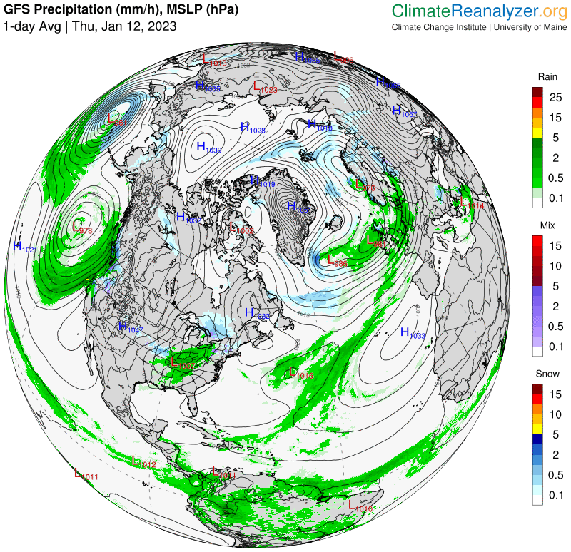
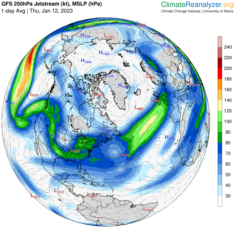
The West Coast will continue to be stuck in a stormy pattern through this
weekend with two low pressure systems expected to impact the coast. The
first system will linger just offshore over the Pacific through Friday,
then gradually dissipate Friday night. The second system will approach
early Saturday and move onshore by Saturday night. Both systems will be
accompanied by ample moisture and produce widespread precipitation. The
most impactful precipitation will remain focused along the coasts of
northern California and the Pacific Northwest through Friday night, then
precipitation will expand south on Saturday and east on Sunday. Northern
California has been hammered with heavy precipitation events over the past
couple weeks, and any additional rainfall could pose a threat of flash
flooding. This weekend, precipitation will fall as snow in the higher
elevations of the West, and heavy mountain snow will be possible in parts
of the Sierra Nevada and Cascades. Heavy mountain snow could also be
possible for the higher peaks of the central and southern Rockies.

In the eastern half of the CONUS, a low pressure system will push across
the Northeast through Friday afternoon, then exit offshore into the
Atlantic late Friday into early Saturday. This system will bring a
trailing cold front across the Mid-Atlantic and Southeast, which will
trigger showers and thunderstorms tonight into Friday morning followed by
a slight cool down in temperatures through Saturday. On the northern and
western sides of the storm, mixed precipitation and snow will be possible
in the Northeast, Great Lakes region, Ohio River Valley, and the higher
elevations of the northern and central Appalachians. The highest impact is
expected to be in northern Maine where heavy snow followed by a period of
freezing rain and sleet will be possible Friday morning. Snow may be heavy
at times downwind of the Great Lakes where lake-effect snow is expected to
develop. Precipitation will gradually taper off across the Northeast on
Saturday.
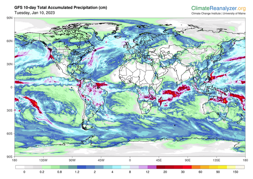
Below is the current five-day cumulative forecast of precipitation (Updates can be found HERE)
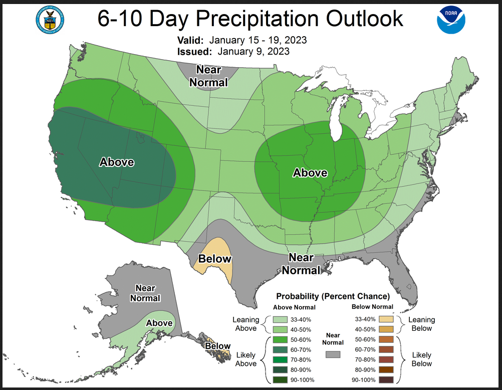
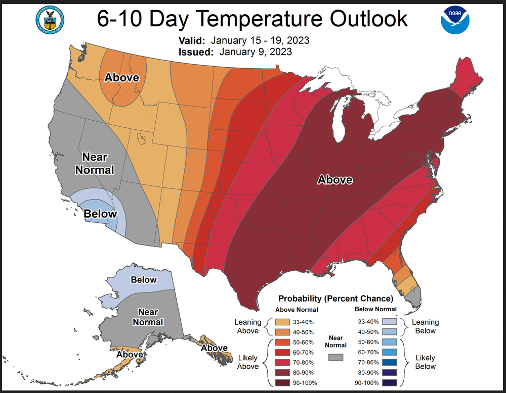
Now we look at Intermediate-Term “Outlook” maps for three time periods. Days 6 – 10, Days 8 – 14, and Weeks 3 and 4. An outlook differs from a forecast based on how NOAA uses these terms in that an “outlook” presents information as deviation from normal and the likelihood of these deviations.
Below are the links to obtain updates and additional information. They are particularly useful if you happen to be reading this article significantly later than when it was published. I always try to provide readers with the source of the information in my articles.
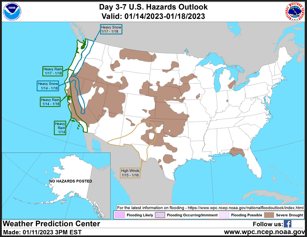
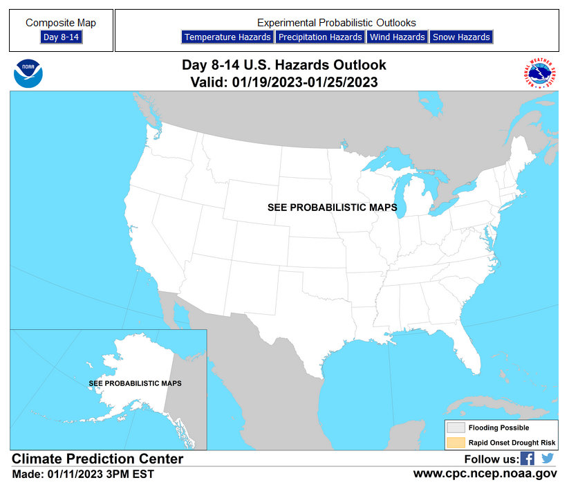
HAZARDS OUTLOOKS
Click here for the latest complete Day 3 -7 Hazards forecast which updates only on weekdays. Once a week probably Monday or Tuesday I will update the images. I provided the link for readers to get daily updates on weekdays. Use your own judgment to decide if you need to update these images. I update almost all the images Friday Night for the weekend edition of this Weather Report. So normally readers do not need to update these images but if the weather is changing quickly you may want to.
Month to Date Information
Temperature month to date can be found at https://hprcc.unl.edu/products/maps/acis/MonthTDeptUS.png
Precipitation month to date can be found at https://hprcc.unl.edu/products/maps/acis /MonthPNormUS.png
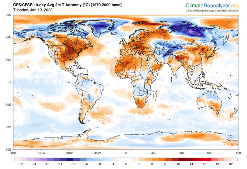
World Forecast
Below are the current precipitation forecast and the 10-Day forecasts for temperature and precipitation. Updates and additional information can be obtained HERE
Much of this information is provided by the University of Maine. They draw upon many different sources.
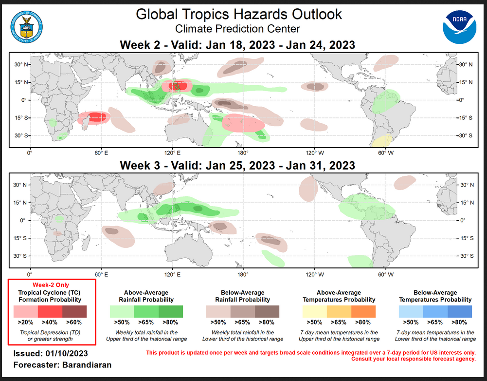
Worldwide Tropical Forecast (This is a NOAA Product)
This graphic updates on Tuesdays) If it has not been updated, you can get the update by clicking h ere Readers will only have to do that if they are reading this article much later than the date of it being published.
–
| I hope you found this article interesting and useful. |